City walls survey
4 Bull Close Road
|
|
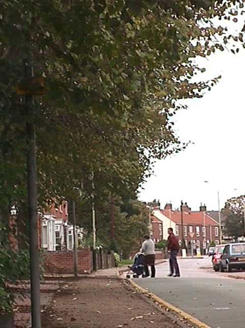
IntroductionThe existing Bull Close Road follows the line of the medieval lane that was outside the defensive wall and was on the outer side of the ditch. Terraced houses on the south side of Bull Close Road, dating from the 19th-century, are built over the infilled ditch and although none of the defensive wall survives above ground, the line of the wall can be traced as a vertical bank behind those houses. [1] This bank, about a metre high, forms the boundary between the back yards of the houses and the lower ground to the south and follows approximately the line of the inner side of the lane that ran inside the wall. [2] This lane is marked on 18th-century maps as 'the way inside the wall'. A survey published in 1910 records that there had been 6 towers between Pockthorpe Gate and Magdalen Gate. The tower at the east end of Bull Close Road survives but of the other 5 towers there were then 'no visible remains.' From the tower at the junction of Silver Road and Bull Close Road to the site of Magdalen Gate is some 432 metres. Of the medieval wall, only 45 metres immediately abutting the tower survives above the ground and this is described as part of the report on the tower. [See Report 3] |