City walls survey
19 Grapes Hill
|
|
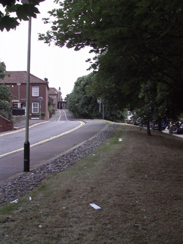
IntroductionThe 14th-century Customs Book records that there were 100 battlements on the wall between St Benedict's Gate and St Giles' Gate and documents and historic maps show that there were three intermediate towers in this section. All the towers have gone with no fabric surviving above ground. Between the gates was a distance of 275 metres and the ground here rises steeply, from 6 metres above sea level at St Benedict's to 25 metres above sea level at Upper St Giles. Much of the first 50 metres of the wall survives from just south of the site of St Benedict's Gate to just before the site of the first of the three intermediate towers. [see Report 18] The second tower was just north of modern Pottergate where it joins Wellington Lane. Both the first and second towers appear to have been semicircular in plan, that is they were rounded towards the ditch and open on the inner side. The third tower, further south and perhaps just 30 metres from St Giles', was, according to Kirkpatrick writing in the early 18th century 'a new square tower, on it an inscription'. By the middle of the 18th century the ditch on the outer side of the wall had been filled in and gardens were laid out over the site. Hochstetters map of 1789 shows that by then there were houses built against the inner side of the wall for virtually the full length and over the next century more houses were built over the line of the ditch outside the walls. The 1st Edition of the Ordnance Survey map in 1885 [LXIII.11.22] shows just how tightly the house were packed around the Gate of St Giles and against the wall on both sides to the north. Until the 1970s there were houses over the site of the ditch all the way from St Benedict's to St Giles' and houses on the west side of Grapes Hill which was then relatively narrow. All these houses were demolished for the construction of a dual carriageway with broad grass verges on both sides. At the north end the gradient of the road was reduced by cutting the road down and this must inevitably have destroyed much of the archaeology of the wall and ditch particularly around the site of the gate at St Giles. The line of the wall is marked by a narrow band of cobbles though there is no indication in the modern landscaping for the positions of the towers. [1] |