City walls survey
10 St Martin at Oak Mill Lane
|
|
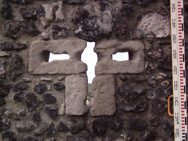
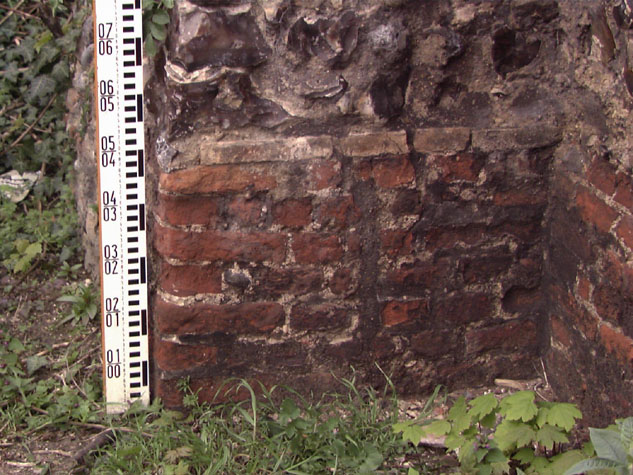
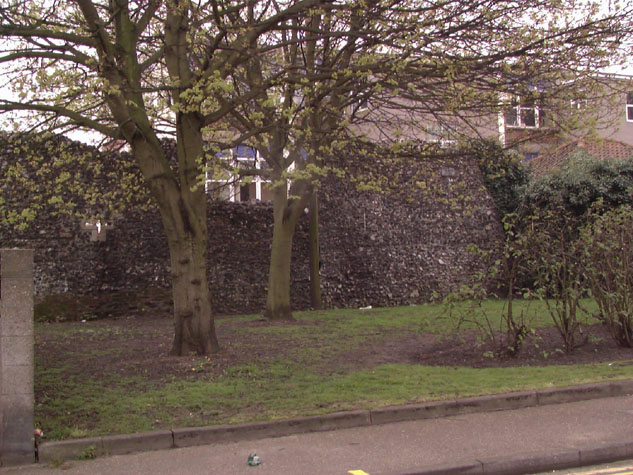
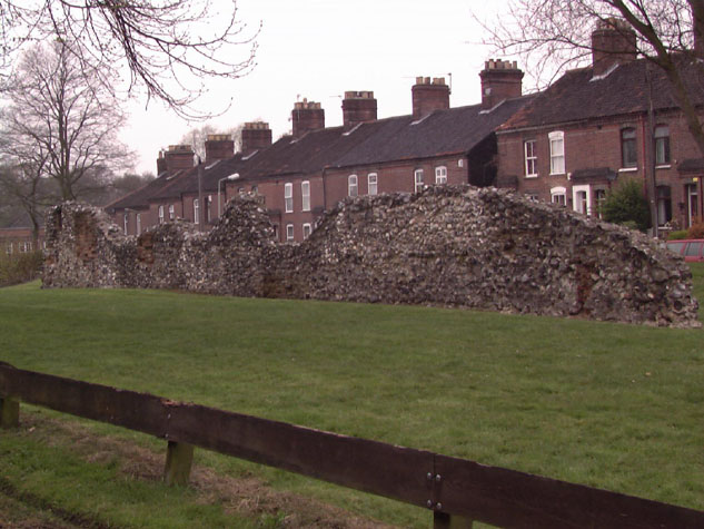
IntroductionThis part of the wall, on the north side of the city, is at the east end of Bakers Road and starts 24 metres to the west of the site of St Augustine's Gate. The main section is 19 metres long and stands to a maximum height of 4.4 metres. On the inner or south side there are the remains of two arches and the start of a third arch of the arcade that supported the wall walk here. Both the complete arches have an open loop. The loop in the east arch is in stone with a pierced cross with circular terminations forming the loop a type associated with the use of guns or cross bows rather than long bows. [1] This type of loop is found on the Cow Tower but does not survive anywhere else on the walls. On the inner side of the wall there is also evidence that the present ground level has been cut down and is now 800mm below the medieval level. [2] It is probable that the lane inside the wall was actually raised above the general level of the ground within this part of the city. This suggests that the flint wall here was constructed on top of an existing bank which was levelled slightly and shallow foundations dug out when an original palisade was replaced with the present flint wall. At the west end, on the north side of this high part of the wall, is a brick and flint wall forming a rectangular projection into the ditch. [3]This has a high chamfered brick plinth and appears to date from the 16th or 17th century though it may be on the site of the first of the two intermediate towers in this section. The inner side of this feature is occupied by a modern electricity sub station. [Survey drawing 10-01 map] Further west, beyond the sub station, is a low section of surviving wall running for a further 45 metres towards the site of St Martin's Gate. The highest part is just 2 metres but much of the wall is flush with the grass on the inner side and only 300 or 400mm high on the outer side. The wall is very thin and there is no evidence here above ground for an inner arcade. The wall has areas of brick patching which remain from buildings constructed against the walls. At the west end there is a loop which may essentially be original. On the north or outer side of the wall there is now a wide grass verge with planting of trees over the line of the outer ditch. [4]This is one of the few sections of the wall where the setting is not hard pressed by roads and traffic. The outer face of the wall itself at the east end has distinct horizontal lines across the mortar which are about 1 metre apart and mark the stages of separate 'lifts' as the wall was built and scaffold dismantled and moved up for the next section to be laid down. [Survey drawing 10-04 Int Elev] |